3D Wood Cut Map - Portland Area Map (Various Colors)
3D Wood Cut Map - Portland Area Map (Various Colors)
Couldn't load pickup availability
In stock
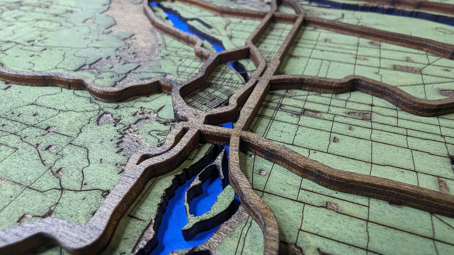
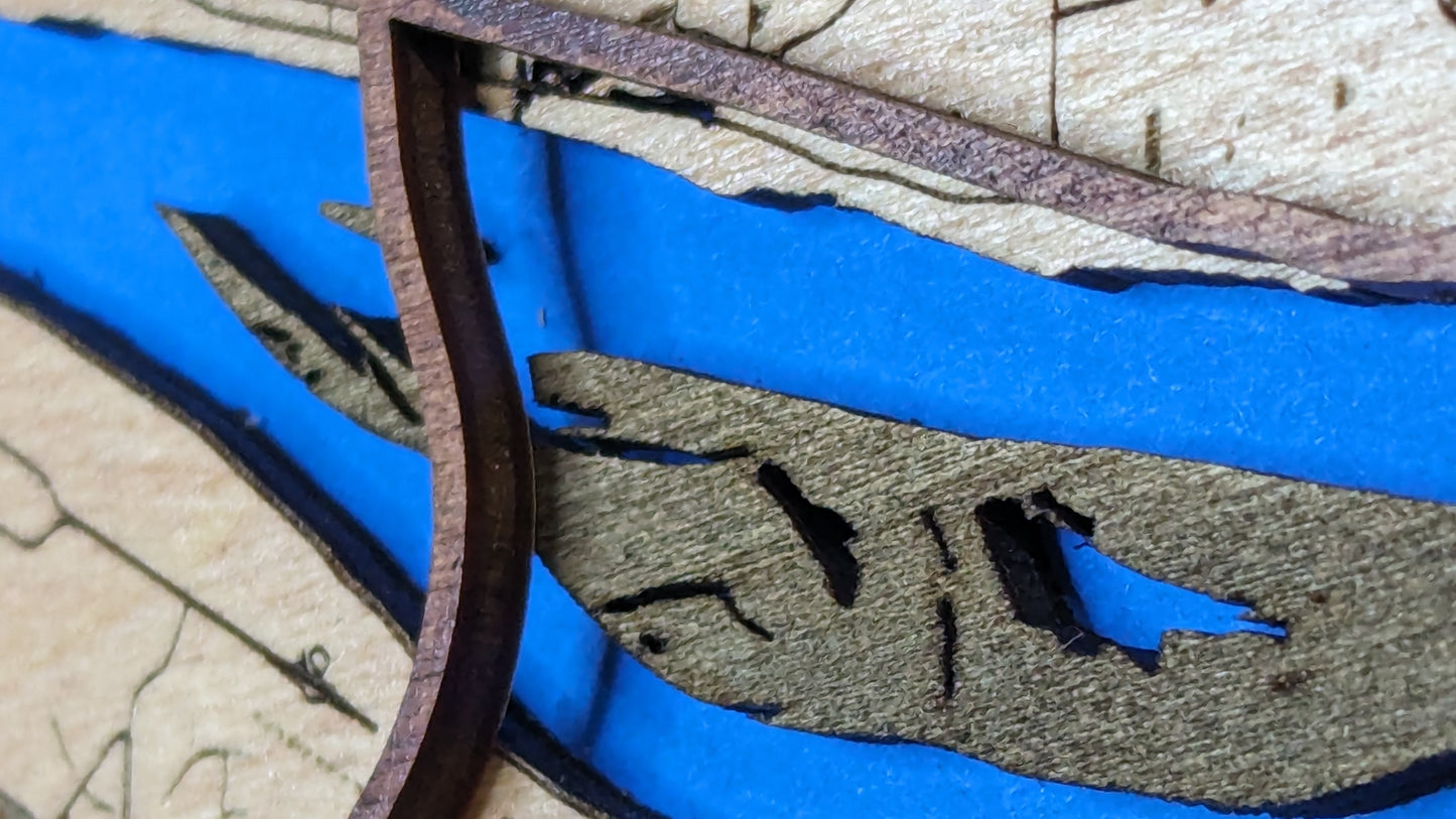
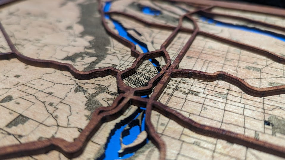
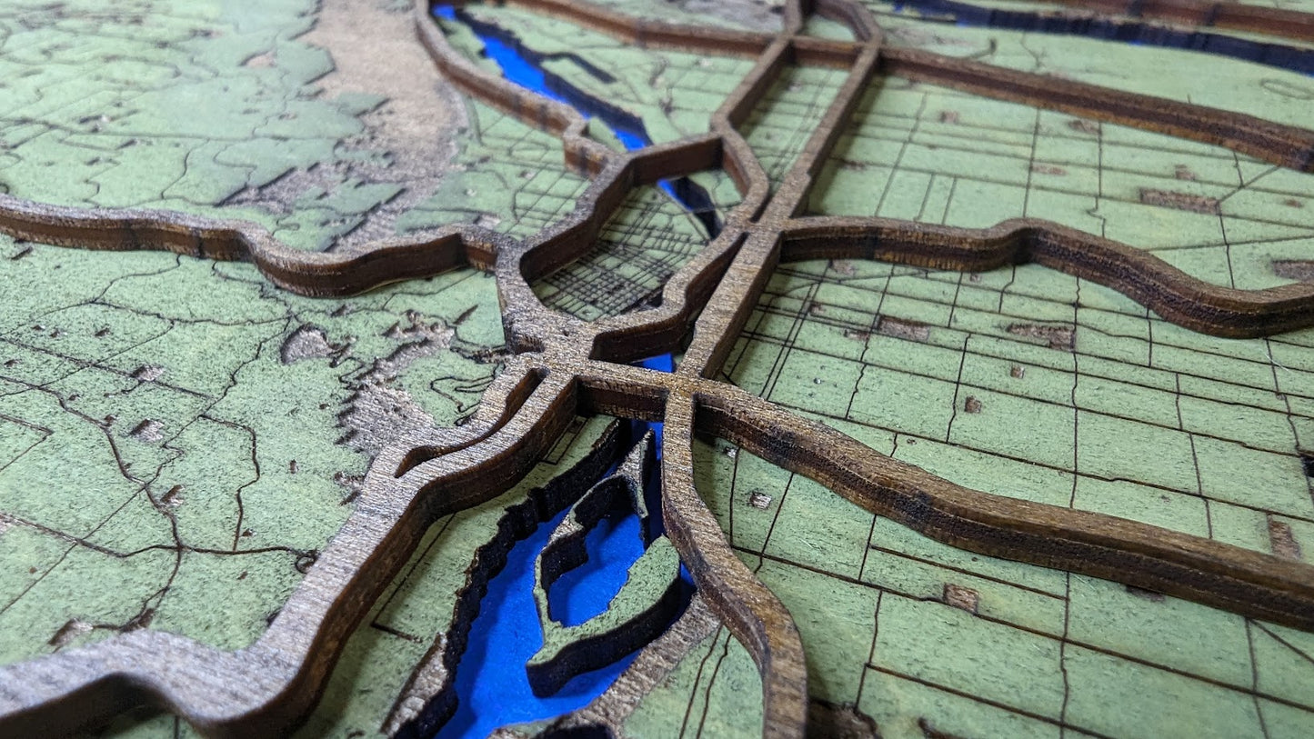
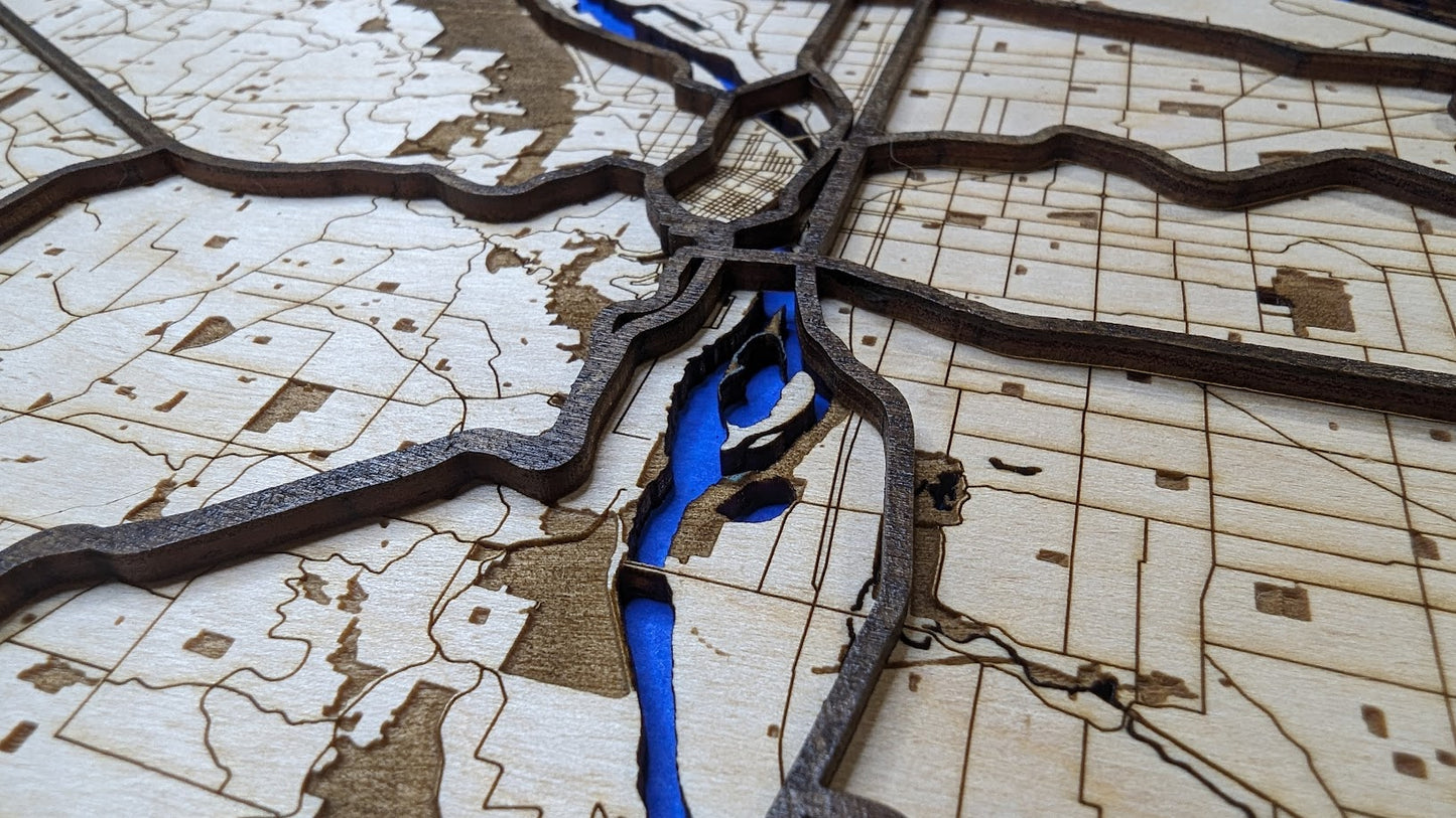
This layered 3D wood map showcases the intricate blend of natural beauty and urban structure that defines Portland’s greater metro area. Crafted from locally sourced Baltic birch plywood, each layer is laser-cut with precision, combining data from accurate government sources with a clean, minimalist design. The shaded reliefs highlight essential Outdoor Recreation and Conservation Areas (ORCA), celebrating the region’s green spaces amid the cityscape. Raised ridges depict the flow of highways, while clearly defined lines trace Portland’s major roadways, offering a striking visual of the city’s connectivity.
The internal map measures 11 x 14 inches and is approximately 1/4 inch thick. The external frame dimensions are 14.8 x 11.8 x 0.6 inches, making it a substantial yet manageable piece, perfect for display in any space.
This map is designed to be both a conversation piece and a timeless addition to your space. Ready to hang straight out of the box, it’s perfect for map enthusiasts, Portland admirers, or anyone seeking a unique blend of art and functionality.
Data Sources:
Roadway data are sourced from Department of Transportation public records, while hydrology details are based on information from the United States Geological Survey, also publicly available. The ORCA visuals are crafted using the Regional Land Information System data, a product of Metro, and made publicly available according to the license agreement found at https://rlisdiscovery.oregonmetro.gov/pages/open-database-license.
Interested in a custom map? Reach out through our contact form to bring your vision to life.
Share
